What good is a walking path if it cannot take you where you need to go?
Rancho Santa Fe puts family life near the resources of the West Valley freeway corridor. Kids play in the streets, families gather in driveways, and a community college sits nearby. But the neighborhood’s walls and entrances complicate the short distances between homes and everyday destinations.
What you can observe while there
The houses show their age through growth and everyday details.
Rancho Santa Fe is made up of single-family homes, with apartment complexes nearby. Concrete stamped 1999 provides a small record of its development. Some trees have grown taller than the largest two-story houses. Palm trees and palo verdes dominate the planting, with natural grass used as decoration along the main roads.
At one two-story house, a creeping vine covered the entire facade, including the garage columns. Yellow fire hydrants punctuate the streets. Four motion sensors activated as we passed on the sidewalk, a small reminder of how closely private home monitoring can meet public walking space.
The neighborhood and its smaller subdivisions have entrances with medians. Signs identify places such as Vistas, Tierra I and II, and Casitas I, II, and III. The names may distinguish home styles or sizes for different family situations, though that was our interpretation rather than a confirmed account of the developer’s intent.
Family life spills into the street.
On a December 2023 visit around 9 p.m., we saw a man taking out the garbage and about fifteen people eating together in a driveway and garage, apparently at a family party. Three children rode light-up bicycles in the street, while three others played football. These scenes gave the neighborhood a fairly vibrant evening atmosphere.
Christmas trees filled many windows. About half of the holiday displays we noted appeared overtly Christian. We saw no wildlife during the visit. Burnt candle, wet grass, fresh doughnuts, and other food smells from nearby shops formed the neighborhood’s sensory backdrop.
Rancho Santa Fe Elementary School sits at the center of the community. From the street, it appeared closed off, with fencing and few windows. We found relatively few parks and playgrounds for the number of homes.
The name suggests a ranch, but we observed a suburban bedroom neighborhood rather than ranches. The two churches noted nearby, The Church of Jesus Christ of Latter-day Saints and Carpenter’s House of Worship, were outside its boundaries. Their locations describe access to religious gathering places, rather than the beliefs of the residents.
Resources are close. The routes are less direct.
The neighborhood lies north of I-10 along Dysart Road in Avondale. The dry Agua Fria riverbed borders it to the east, Corte Sierra to the north, Palm Valley to the west, and heavily trafficked freeway commercial development to the south. Dysart Road and the I-10 junction were busy across the times described in our notes.
The Shops at Alameda Crossing are among the closest shopping options. Yet the neighborhood’s walls prevent a direct walking route. Reaching the shops requires going around via Dysart Road or Rancho Santa Fe Boulevard. The wall separates homes from the main road except at neighborhood entrances.
There are plenty of walking paths, trails, and sidewalks, some illuminated at night. In our observations, they offered places to walk without useful connections to important destinations. The contrast between nearby shops and indirect routes made walking feel less practical than the distances suggested.
Estrella Mountain Community College is on the northwest border. Our notes identify Valley Metro bus stops on Dysart Road and McDowell Road, plus a park-and-ride near the freeway entrance for trips toward downtown Phoenix. During the visit, we noted two Ubers and no buses passing. That snapshot does not establish transit frequency.
Proximity creates potential. Access determines how much of it is useful.
Rancho Santa Fe scores above average in understanding, protection, idleness, creation, freedom, and subsistence. Every assessed dimension scores at least five. Proximity to Estrella Mountain Community College and the resources along I-10 are the main strengths behind the overall rating.
The assessment is held back by limited housing diversity, religious gathering places outside the neighborhood, and a name that has little connection to the place’s observed design. Its paths and walls also raise a practical question: how readily can residents use the opportunities around them?
This rating is an editorial interpretation of Manfred Max-Neef’s framework of fundamental human needs. It is a lens for inquiry, not an official measure or municipal finding.
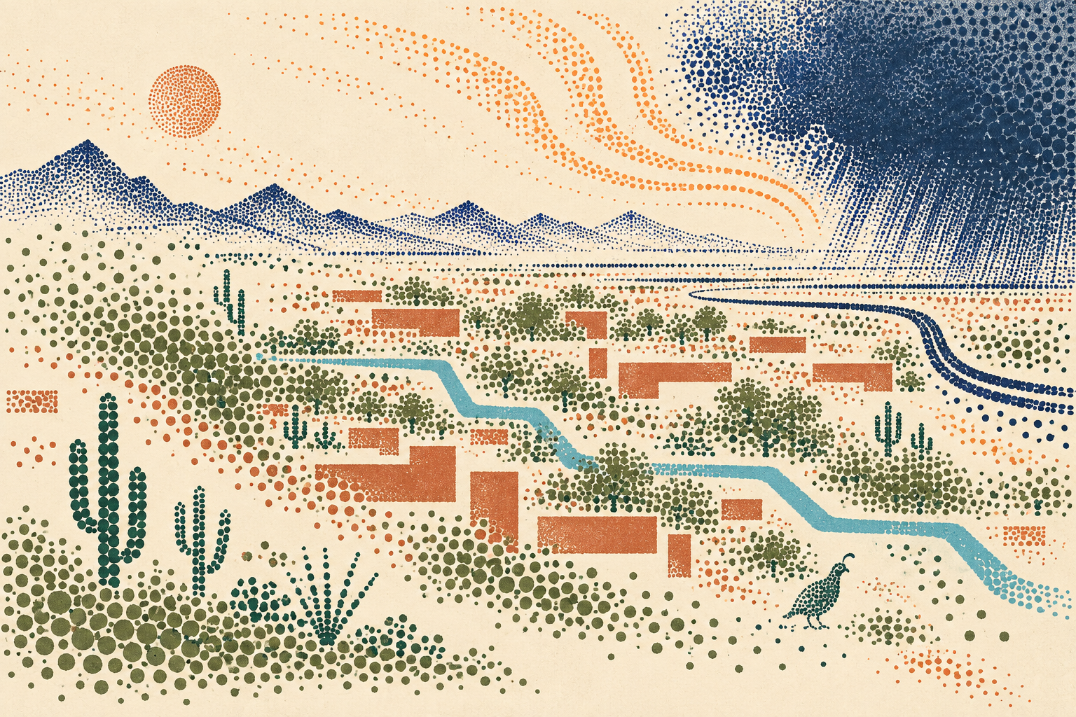
Notes of burnt candle, wet grass, and fresh doughnuts. Light-up bikes, a driveway dinner, football in the street, Christmas trees in windows, and a vine climbing the garage columns.
By 2050, can nearby opportunity become easier to reach?
Our assessment sees Rancho Santa Fe as well-positioned to support human flourishing. Its nearby college and access to the freeway corridor offer substantial resources. Traffic and crime are the two risks identified in the original outlook, although these notes provide no crime data with which to assess that risk.
Continued growth in Goodyear, Glendale, and Buckeye could sustain or increase the congestion residents already encounter. The usefulness of the neighborhood’s location will depend in part on how the surrounding road network and local connections develop.
The community college presents an opportunity for residents to strengthen identity, creativity, and understanding. Whether that potential becomes part of everyday neighborhood life depends on participation as well as proximity.
Improvements around I-10 and Dysart Road could ease access, while better walking connections could make nearby shopping more useful without a car. The question is whether the district’s routes will begin to connect its everyday life with the resources just outside its walls.
Conditions to watch
- Goodyear, Glendale, and Buckeye growth, including approaches to density
- I-10 and Dysart Road congestion and potential improvements
- SR-303 improvements and proposed I-11 and SR-30 connections
- Cultural influences from California and Mexico
- Resident participation in community college learning and creative life
- The West Valley’s evolving culture of work, play, and living